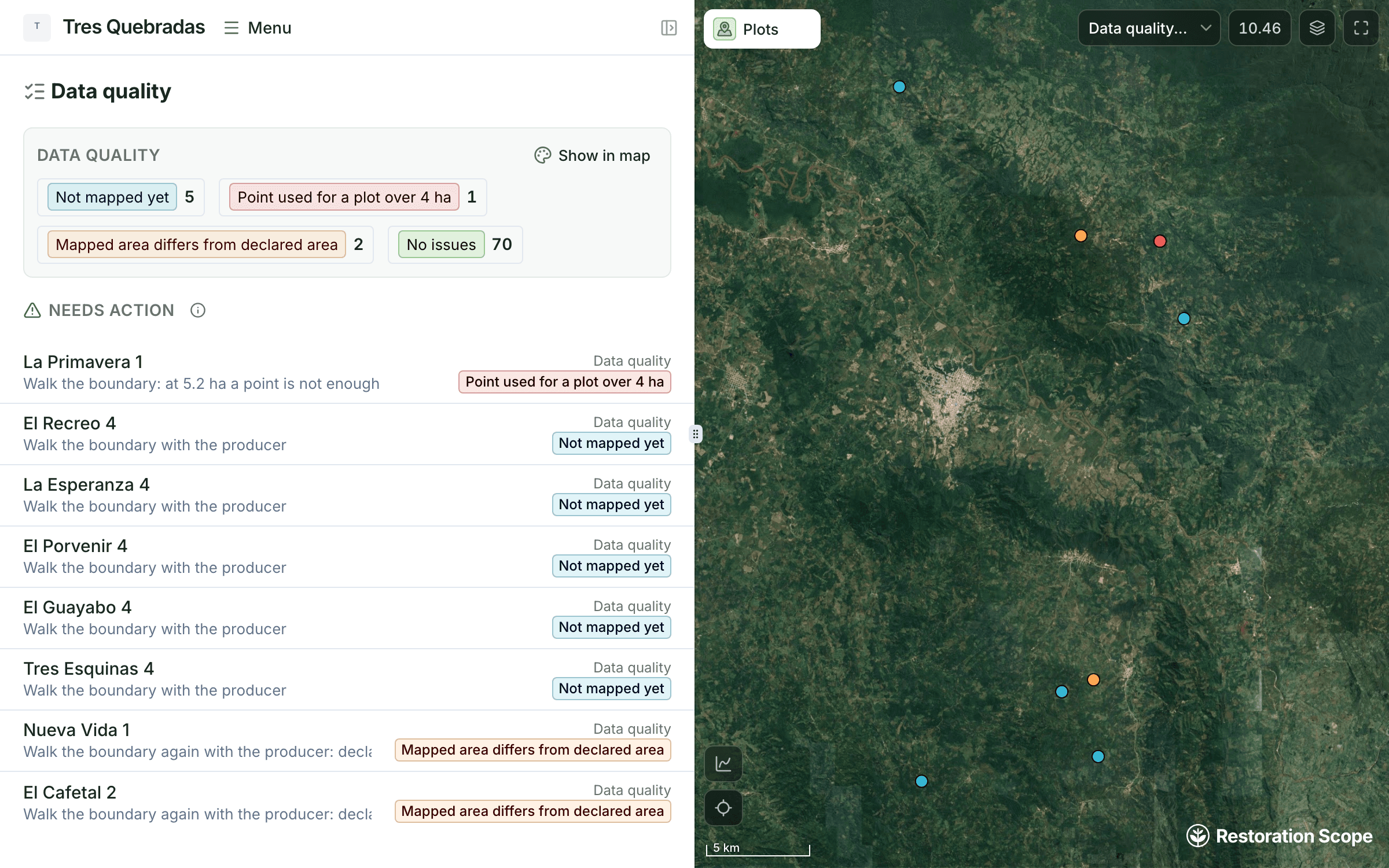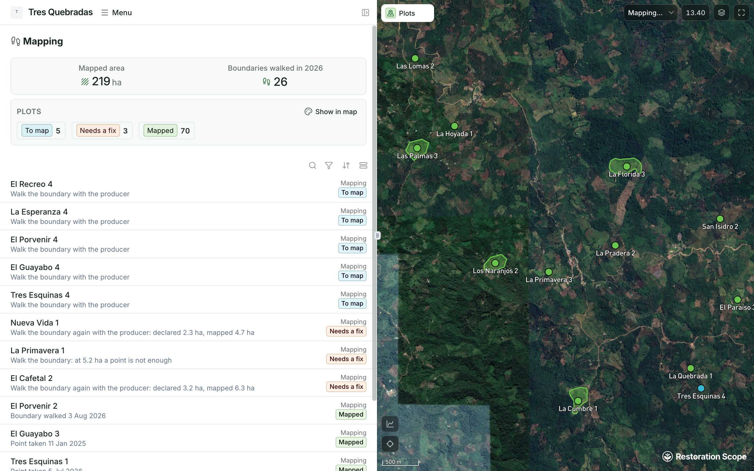
Is every plot located the way the regulation asks?
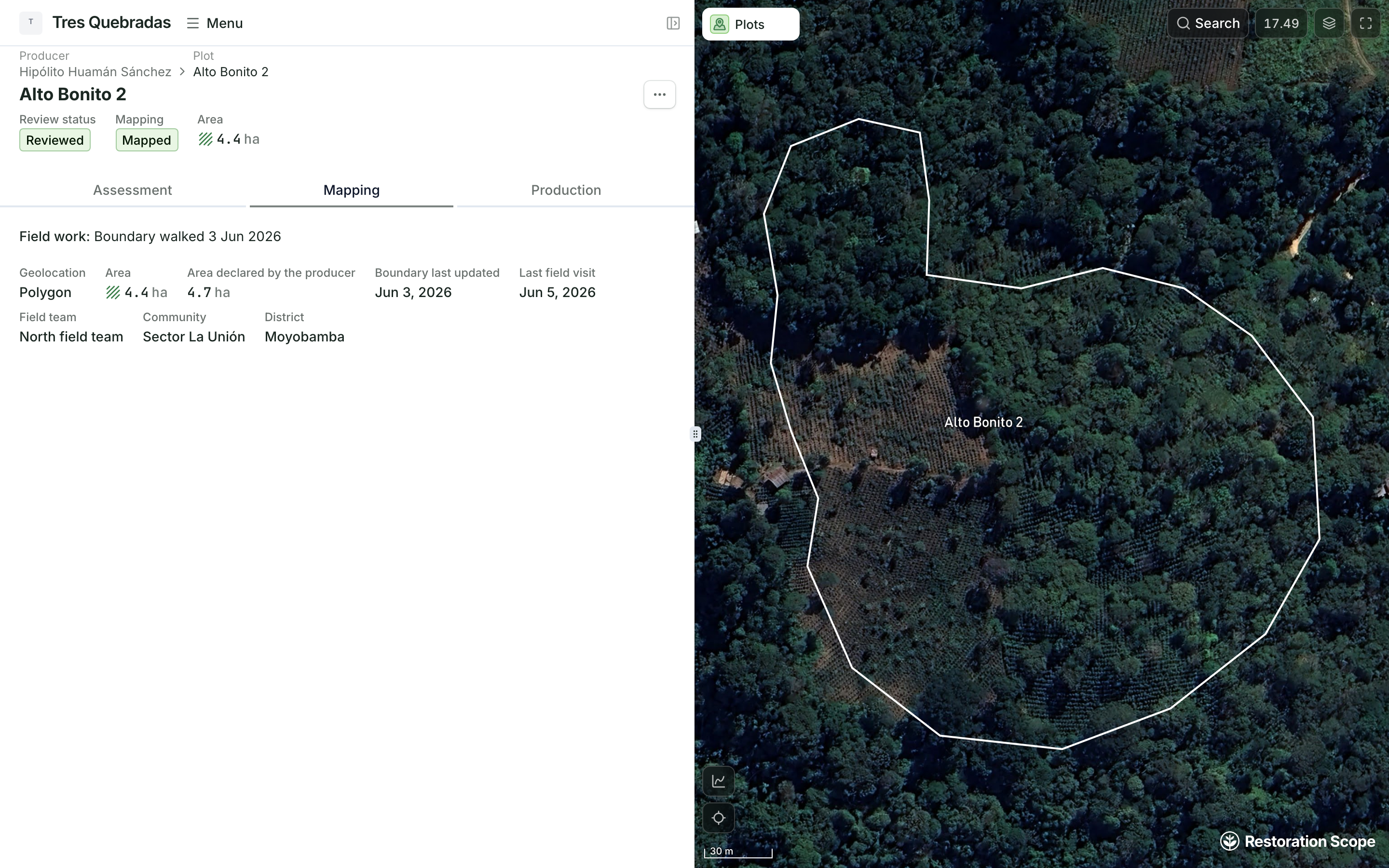
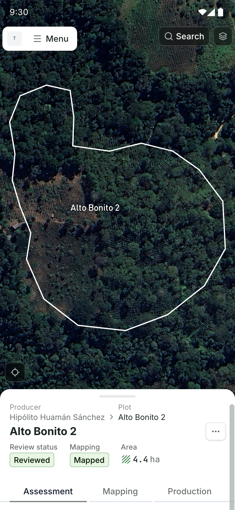
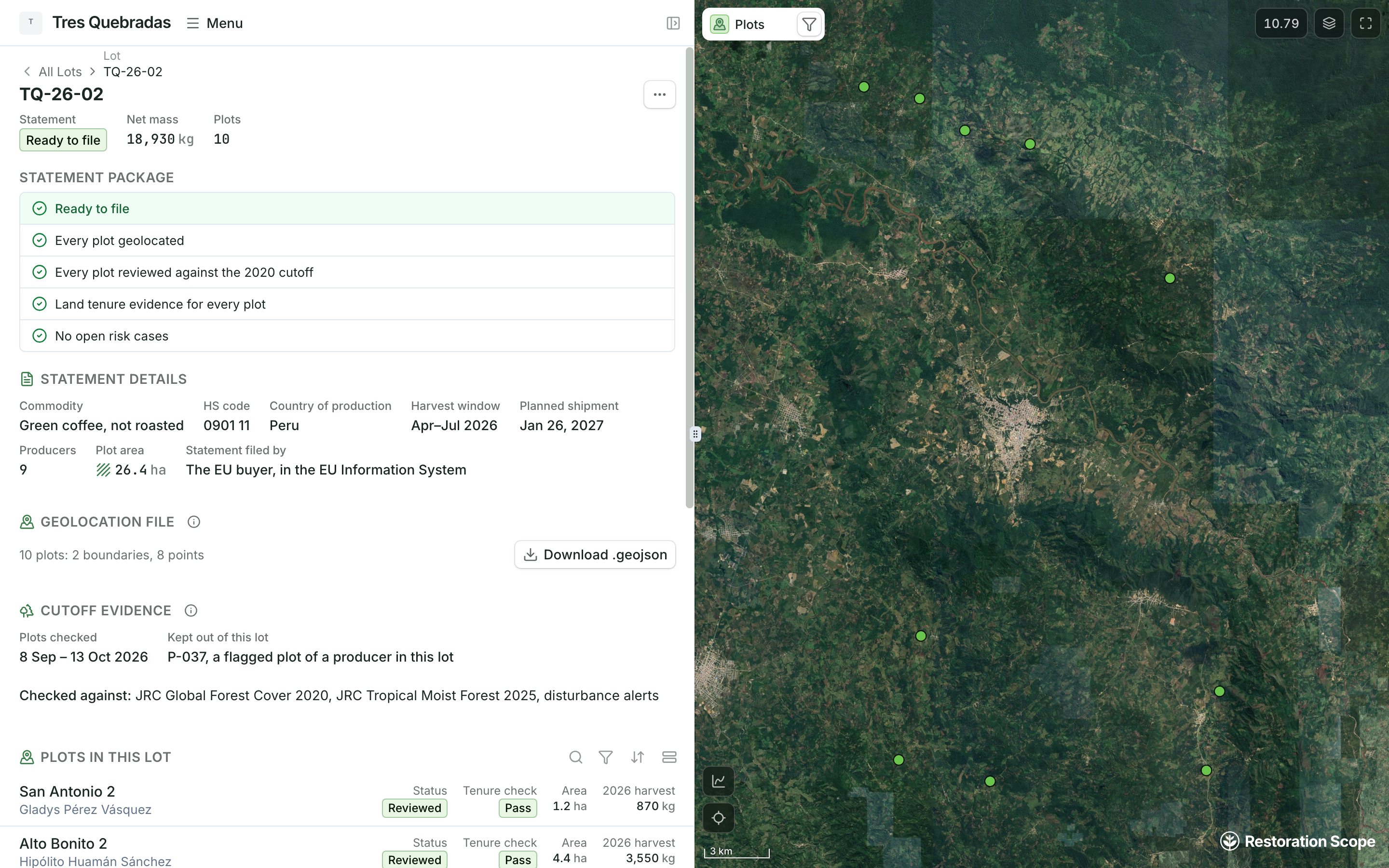
Record each plot as a boundary, or as a single point when it is 4 hectares or less. Bring in the spreadsheet, KML, shapefile or GeoJSON you already have, then see the whole supply base on one map, each plot marked to map, needs a fix or mapped.
What geolocation the EUDR requires