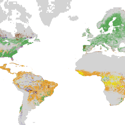
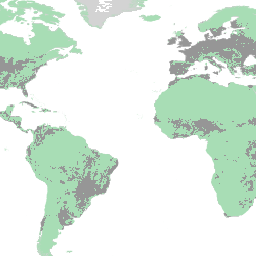
Drivers of Forest Loss (WRI / Google DeepMind)Forest & CarbonLand Cover~1 kmSingle period (one class per cell for 2001-2025)
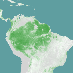
Harmonized Landsat Sentinel-2 NDVIForest & CarbonLand Cover30 mPer source observation; composited by requested window
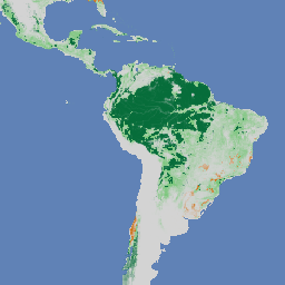
Disturbance AlertsForest & CarbonLand Cover10 m (30 m Landsat-based alerts upsampled)Daily alert dates
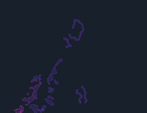
Carbon Offset Project Boundaries (Africa)Forest & CarbonRegistry project boundaries (georeferenced or official shapefiles)Static snapshot
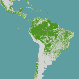
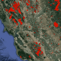
Fire History (MODIS Burned Area)Forest & Carbon~463 m (~21 ha per pixel)Monthly source, counted by calendar year
PrecipitationWater & Climate0.05 degree (~5.5 km)Median composite over pentad precipitation observations
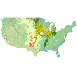
Fields of The World (Global)Land Cover~10 m source grid; vectorized field predictionsAnnual modeled layers
Harmonized Landsat Sentinel-2 True ColorBasemaps30 mPer source observation; composited by requested window
Landsat 8/9Basemaps30 m (RGB surface reflectance composite)16-day revisit per satellite; approximately 8 days combined